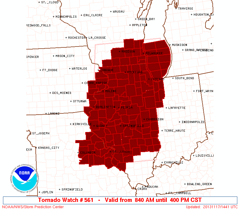
The first tornado watch of the day, which had the potentially dangerous situation labeling to it, was issued just short of 9 am. With the first watch of the day being issued that early in the day, we knew it was going to be a long and dangerous day.
By 10:30 am, there were several tornado warnings ongoing in portions of west-central and central Illinois, including one for the storm that would lead to Washington, IL being hit by a tornado.
This is the tornado warning that was issued for Pekin and Washington, IL. Note that the storm would arrive, at least with this first warning, at around 1105 am. This was the approximate time that the storm was moving through the town.
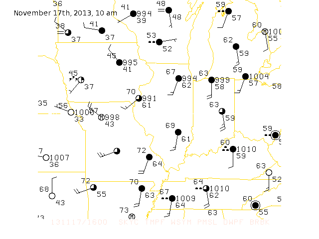
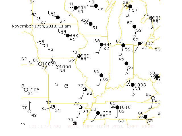
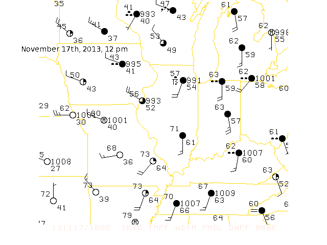
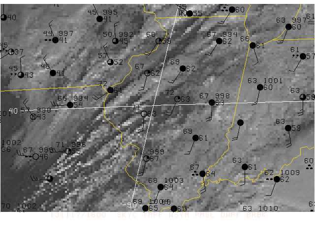
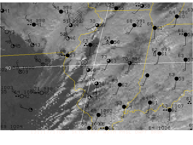
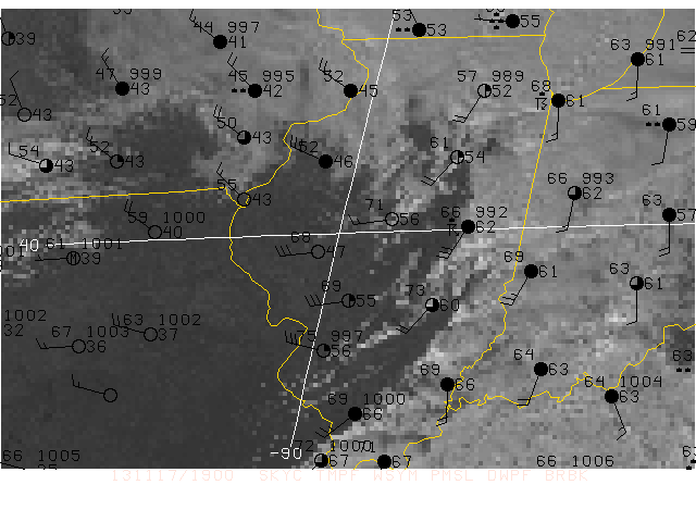
This is the area weather roundup from the national weather service in Lincoln, IL. It is basically a list of the conditions in cities in and around Central Illinois, along with a selection of cities from the mid-mississippi valley. This was posted at 12:00 pm. Click on the image for information.
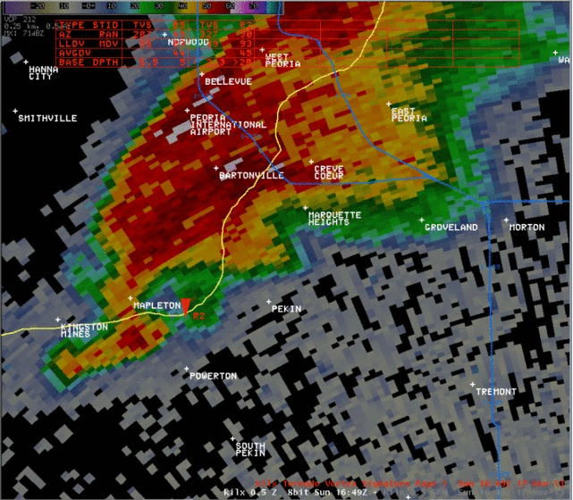
The radar showed that a massive tornado was sitting right over the city of washington at just after 11 am. A debris ball, a radar signiture of the debris from a tornado high up in the atmosphere, was picked up by the National Weather Service Lincoln's radar. This is only really common when you have a very strong tornado.
| This is a gif of the supercell thunderstorm that produced the Washington, IL tornado as it moved through Washington and beyond into the countryside to the northeast. (Image from National Weather Service in Lincoln) |
 |
The storm would move on and produce copious amounts of damage through portions of Tazewell, Woodford, LaSalle, and finally weakening in Livingston county. This however was not the only tornado report of the day. There was several reports of tornadoes through central and West Central Illinois.
| This is a list of the storm reports from 10:15 am until just after 11:30 am. Note that there are several reports of tornadoes including the tornado that hit Washington at just 11 am. |
|
As the day went on, the storms began to become more linear, meaning that the storms began to form into lines of thunderstorms, increasing the damaging wind protential. However this did not mean that the tornado threat was over.
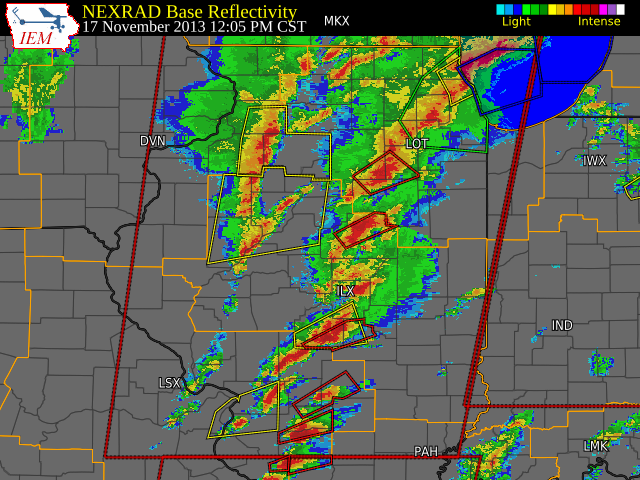
| This is an image of the storms at just after 12 pm. Notice that the storms have formed into a line. The supercell thunderstorms that formed earlier, including the one that hit Washington, was still tornado warned. At that time, other imbedded supercell thunderstorms were ongoing, including one that produced a tornado on the north side of Pana, IL. (image from Iowa Enviromental Mesonet) |
 |
| This is the conditions at the ground with a sateillite image overlayed on top. This was at around 10 am. At this time, storms were beginning just rest of the Illinois river in the very rich, humid environment that we had that day. Dewpoints out in front of these developing thunderstorms were in the 60s, which is very rare for the month of November. |
 |
This next image was at just after 11 am that morning. The initial line of severe thunderstorms was parallel to interstate 55 by this time, and the Washington, IL tornado was ongoing at that time as well. Notice in southeastern Iowa that there is stations repoting in with temperatures only in the 40s, marking a very sharp cold front. |
 |
This image shows the conditions at just after 1 pm. This was right as the Gifford, IL EF3 tonado was firing up. By this time, the cold front had swept through, bringing some very windy, colder, and drier conditions to the midwest. Out in front of the front, the weather remained very unseasonably warm and humid. |
 |
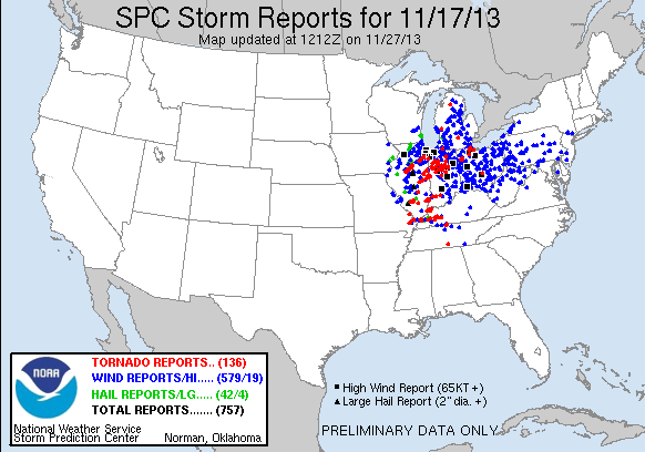
| This image shows the storm reports. Overall, there were 136 tornado reports, including more tha 30 in the state of Illinois, which is a record for November. THere were 42 large hail reports, with the largest being 4 inches in size in the city of Bloomington, IL. There were also 579 wind reports as well, making this a wind event primarly, but with a big tornado component as well. (image from the Storm Prediction Center) |
 |
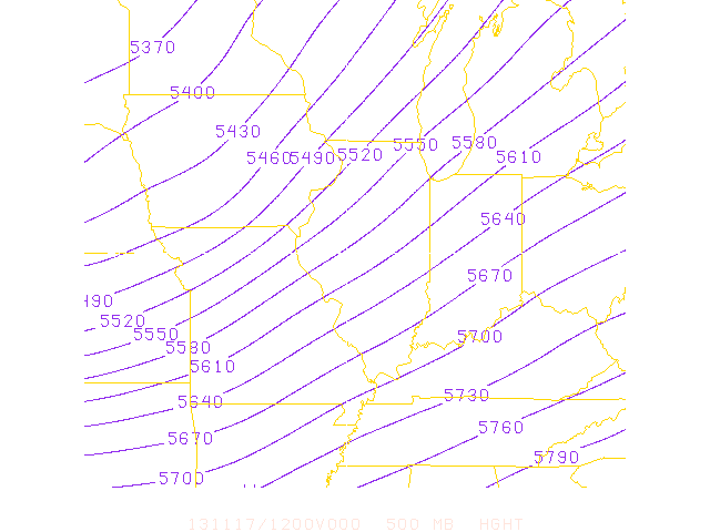
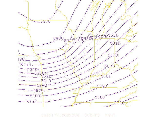
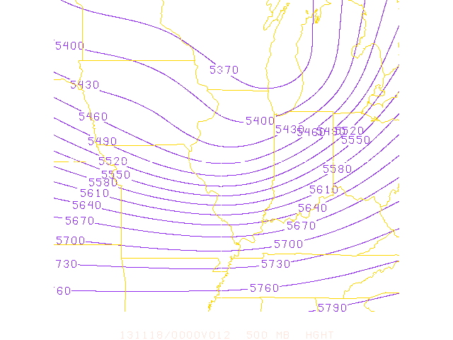
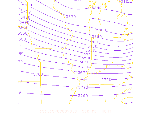
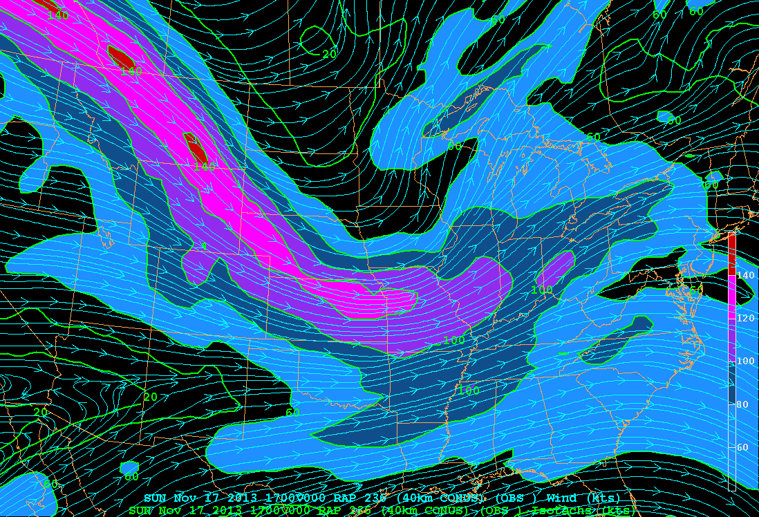
How did this happen? Well, we had a huge amount of instability for that time of the year. As I said before, there were widespread dew points in the low to mid 60s, which is more like late September than mid November. We had a huge pressure gradient. This made things very windy and thus helped to add the wind component to the storm. The biggest aspect of this storm was the sharp cold front. Out in front of the front there were temperatures climbing into the upper 60s to low 70s with the dewpoints rising into the 60s, which gave the storms plenty of fuel. With the wind, we had wind in the upper levels coming out of the northwest, with surface winds coming out of the southwest. This created significant directional and speed shear with the speed of the wind at both levels being significantly different. This is the main reason why this outbreak was so significant, especially in the early going.